
Stay Informed
Sign up to receive industry trends, news, and updates from EBA.

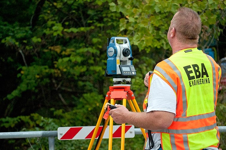
To support this county stream restoration project, EBA provided a detailed topographic map of three stream study areas covering 11 acres. The maps needed to be referenced to the local county datum, which also is part of the Maryland State Plane Coordinate System.
EBA located and detailed all water control structures, outfalls, inlets, and utility structures, including storm drain and sanitary lines, with inverts, fence lines, cable lines, property boundaries and corners, and any other miscellaneous items within the limits of the survey. Also included were wetland delineations, large trees and boulders, bedrock in the bottom of the stream channels, and centerline walking trails.
EBA provided 1-foot contouring and property boundaries and submitted all information electronically in AutoCAD 2013 format.
Sign up to receive industry trends, news, and updates from EBA.
At EBA, you can count on our commitment to helping you realize your full potential.