
Stay Informed
Sign up to receive industry trends, news, and updates from EBA.

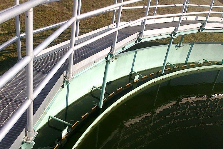
EBA’s extensive survey and mapping experience made the firm the ideal choice for performing boundary and topographic surveys in support of upgrades to the La Plata wastewater treatment plant.
EBA used a combination of field run survey and digital imaging equipment to establish survey controls on the site; locate all roads, parking areas, buildings, and utilities; detail existing tanks, weirs, and piping; overlay the plot of the property deed using recovered property markers at the site; illustrate utility easements; and determine flood zone designations based on the federal flood insurance rate map.
In designing the proposed improvements to the plant, EBA also established the relationship between the first-floor elevations of the existing buildings, pipe invert elevations, weir elevations, and manhole elevations.
Sign up to receive industry trends, news, and updates from EBA.
At EBA, you can count on our commitment to helping you realize your full potential.