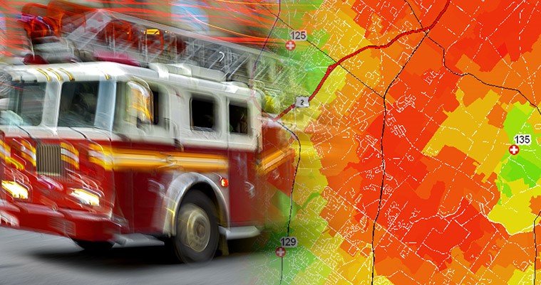
Using GIS to Model First Responder E-911 Dispatch Orders

How does an E-911 dispatcher determine which fire or emergency medical services (EMS) unit to dispatch after they receive a call and locate the caller?
Most E-911 dispatch software systems maintain fire and EMS “zone boundaries,” sometimes still referred to as “boxes” from the era when fire call boxes were located along city streets. These zone boundaries subdivide a county into small geographic areas—typically one or two city blocks—called emergency response zones.
A dispatch software system maintains separate police, fire, and EMS unit dispatch order rankings for each emergency response zone. Depending on the type of call, the “first due” responder is dispatched, and if they are not available, the “second due” unit is dispatched, and so on. Some systems maintain up to 30 dispatch order rankings per emergency response zone.
What is the criteria for establishing the dispatch order ranking of first responders to each emergency response zone? In many cases, it is a political decision based on municipal boundaries and the emergency services that each municipality provides to its citizens. But, the political jurisdiction may not reflect the fastest first response to an emergency call location. Since this is a geographic problem, GIS can empirically model dispatch order rankings for fire and EMS responders to support a faster response.
An origin/destination (O/D) model can be developed in GIS to compute the travel time from each emergency first responder station to each emergency response zone. To determine the response time to an area, destination nodes are added at key intersections and mid-zone locations in each emergency response zone to calculate the average response time per emergency responder. Some local governments map buildings and vacant properties as address points, and when available, these can be used to calculate the average response time for each fire station and EMS squad to serve all the addresses in the emergency response zone.
Data required to solve an O/D model for dispatch order ranking include fire and EMS squad station locations, emergency response zone boundaries, address points or destination nodes within each emergency response zone, and road centerline networks capable of solving vehicle routes. For best O/D solutions, road centerline networks require posted speed limits or average travel times, one-way streets, turn restrictions, 3-D road intersections (highway overpasses/underpasses), and emergency access roads to limited access highways.
The O/D model output is a very large, “raw” dataset of travel time from each fire and EMS squad station to each emergency response zone destination node. This data can be aggregated and summarized into a variety of useful reports, maps, and datasets, including:
- A service area map of “first due” fire stations and EMS squads assigned to emergency response zones.
- The average response time rank ordering of the 30 fastest fire stations and EMS squads per emergency response zone, formatted as a data table that can be loaded into an E-911 dispatch system database.
- The rank order for the top three fastest fire and EMS squads per emergency response zone destination node (to calculate an index of dispatch order variability for each emergency response zone).
- A map of dispatch rank order variability by emergency response zone.
- Statistics for emergency response zones: minimum, maximum, mean, variance, and standard deviation calculations for fire and EMS squad average dispatch times.
In all, GIS can be leveraged to help solve an important geographic problem—and potentially save lives—by getting first responders to the scene of the emergency as quickly as possible.
Bruce Stauffer is vice president of EBA Engineering’s geospatial technologies and asset management services division. He can be reached at 717.399.7007 or bruce.stauffer@ebaengineering.com.
