
Enhancing PennDOT PAMS, a Repository for Historical Monuments and Surveying Information
Pennsylvania Surveyor has highlighted geographIT’s recent collaboration to expand PennDOT’s Photogrammetry Asset Management System (PAMS) from an internal planning and tracking tool into a robust crowd sourcing system.
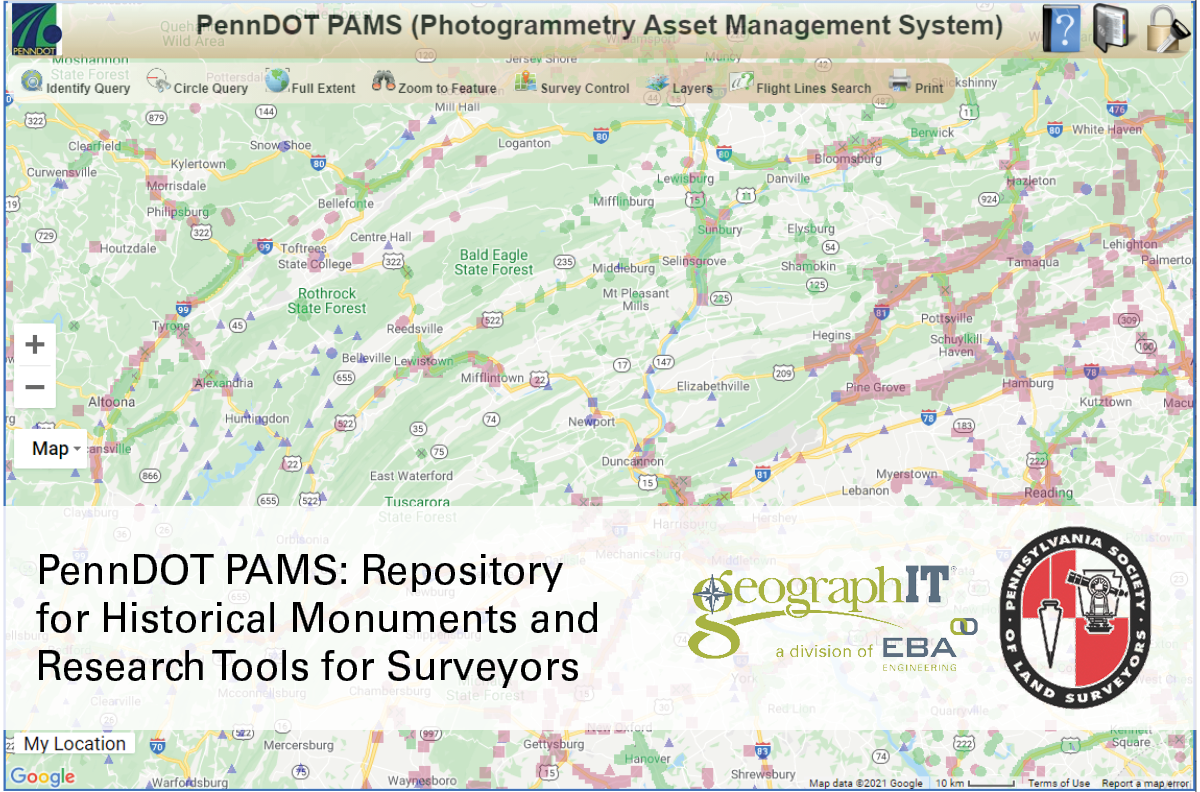
The article, PennDOT PAMS: Repository for Historical Monuments and Research Tools for Surveyors, begins on page 6.
PAMS is a multifunctional website that provides desktop and mobile access to a wealth of survey information. Through quick access to information—tying the heritage of survey monuments to current technological advancements—PAMS helps users plan and maintain critical survey infrastructure for future photogrammetry and surveying projects. geographIT developed and hosts PAMS for PennDOT’s Photogrammetry and Surveys Section.
Learn more and check out the PAMS application at www.penndotpams.org.