Celebrating Our GIS Professionals – Joseph DeLuca

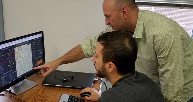
Joseph DeLuca, GISP, manages GIS projects in the water/wastewater and asset management fields. During Geography Awareness Week, he answers some of our questions about his work, experiences, and advice for the next generation of GIS professionals.
Where are you from?
Baltimore, Maryland.
What do you do at geographIT, a Division of EBA?
I am a project manager focused on water/wasterwater and asset management related GIS projects.
What inspired you to pursue a career in GIS?
I started out in college taking environmental classes. At the time, at UMBC, geography/GIS courses fell under the same department. I always had a love for maps. Once I started taking several classes and did an internship with Baltimore County’s GIS group, I knew that was the career path for me.
Tell us about your experience in the field.
I started my internship with Baltimore County during the summer of 1999. I have been working in the GIS industry ever since.
What are some of the biggest changes you have seen in the industry?
The technology and the industry’s focus have both changed. As little as 15 years ago, most organizations were focused on developing data and making maps. Now the industry is all about mobile data access and custom applications. Today, data is stored in the cloud, and web applications have eliminated the need for paper maps. Scanned images such as as-built drawings or right-of-way documents can be accessed remotely while on location. Custom widgets allow users to analyze data in the field, and dashboards are configured to provide management with live updates of work progress.
What’s the most interesting project you have worked on?
The most interesting for me is the work we are doing with the Municipal Authority of Westmoreland County. We have completely changed the way that county employees perform their daily activities!
What is your favorite thing about your job?
Nothing beats successfully delivering a project/task that helps improve the client’s daily operations. I love talking to a client several weeks after delivering the product and having them tell me how much it is used and how much it helps them.
What is one thing the public doesn’t know about GIS that they should?
GIS has been around for over 50 years. It started in the early 1960s in Canada, when Roger Tomlinson used GIS to develop a land map inventory. The project came to be by a chance meeting on a plane! It’s fascinating to read about the origins of the modern map.
What is your favorite Esri© Story Map and why?
A Christmas Story Map that we put together last year showing the locations in our favorite holiday movies.
When you aren’t at work, what are you most likely doing?
I am usually taking one of my kids (Sam, 8 and Kaitlyn, 5) to their sports activities (soccer, baseball, and gymnastics) or walking my dog, a 2-year-old lab/border collie mix with lots of energy!
What advice do you have for encouraging the next generation of GIS professionals?
Find time to keep up with the latest technology. It changes quickly. It is easy to get focused completely on the tasks you have without taking time to see what new solutions have become available.
