
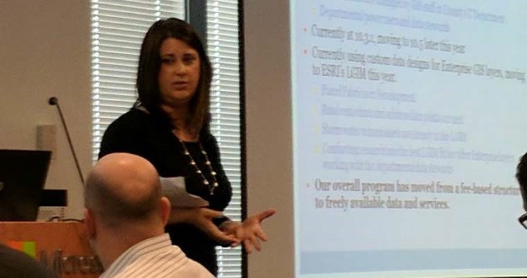
Celebrating Our GIS Professionals – Stacey Smith
In honor of Geography Awareness Week, project manager Stacey Smith, GISP, tells us about her 21-year career in the field and offers her insights into the industry.
Where are you from?
I grew up in Indiana County, Pennsylvania, and have lived in the West Chester area since 1997.
What do you do at geographIT, a Division of EBA?
I am a project manager for the local government sector. Prior to joining geographIT, I served in a GIS management role for a county government.
What inspired you to pursue a career in GIS?
I took a few geography classes in college on a whim and ended up loving them, so I took an Intro to GIS course. That’s all I needed to get hooked! It’s always interesting to see people’s reactions when I tell them that I have a liberal arts degree in geography and that I’ve been able to use it in a technical field for my entire career!
Tell us about your experience in the field.
I have been in the GIS field for 21 years. I started out as an entry-level GIS technician and have fortunately been presented with many opportunities to learn and advance through various positions.
What are some of the biggest changes you have seen in the industry?
So much has changed! When I started, GIS was done by command-line using ArcInfo. Aerial imagery was black and white and took a lot of time and money to capture and process. And if you needed data for a project, you had to gather and create it yourself.
Now GIS desktop software can do so many things that previously took a long time and had to be run on servers. GIS tools and applications are now configurable, so non-programmers can customize their work. You can fly and process your own high-accuracy imagery with a drone in a matter of hours. Accurate and reliable data is now available from a variety of sources, saving so much time.
What’s the most interesting project you have worked on?
The most interesting project I’ve worked on has been the GIS for NextGen 911 in Southeastern Pennsylvania effort. It’s a complicated project with many different elements, so it’s challenging and rewarding at the same time.
What is your favorite thing about your job?
It’s hard to pick one thing! I enjoy public speaking and getting to share GIS with others. I also really enjoy helping organizations achieve their GIS goals.
What is one thing the public doesn’t know about GIS that they should?
That it’s not the same as Google Maps! GIS touches so many things, and there are so many uses for it.
What is your favorite Esri Story Map and why?
One of my favorite Story Maps, called The Sounds of Borneo, was put together by the Nature Conservancy and is featured in Esri’s Story Maps Gallery. It’s a great showcase of GIS and the Story Map style, and it allows you to learn about a complex topic in a relatable way.
When I’m making a Story Map, I like to use the Cascade style. It is a great substitute for PowerPoint because the flow is smoother, and it really lets you tell a good story with the maps and images.
When you aren’t at work, what are you most likely doing?
Outside of work, I can be found hiking, doing yoga with friends, attending various craft beer events, and watching the Eagles or the Flyers at our neighborhood pub.
What advice do you have for encouraging the next generation of GIS professionals?
Stay current and get out to conferences. Talk to others doing similar work as you. And don’t be afraid to try new things!